How Google Fusion Tables Helped Me Look Awesome
Last Monday I came into work to find a surprise: a memo seeking clarification of a business decision we had made in opening a new location. Lots of issues were wrapped up in the questions this memo raised, but the bottom line was I needed to prove this new location would not hurt sales at an existing location where the company has a large stake.
I had customer level data for all our locations which included geolocation information (city, state, zip code, etc.), but I was not sure how to make use of it. I then remembered Google Maps had an API that web designers can use to create dynamic maps. Something like this would be of great use in my project….so I started “Googling” around.
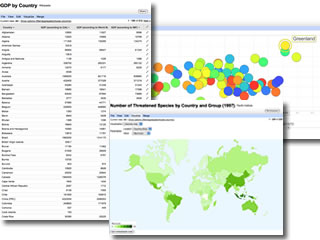
Then the clouds parted, the angels sang and I found Google’s Fusion Tables. I consider myself something of a data-geek and unabashed Google fanboy. I had never heard of Fusion Tables so I am willing to wager many others haven’t either. Fusion Tables is a free tool that allows groups to build, discuss and report on large datasets. Think Google Docs on steroids. Users can specify at the table level whether they want the data to be public or private. Just browsing the public tables, there is a treasure trove of useful data. The topics range from swine flu to climate change to pop song requests by state. One of the most useful features (one which I still can’t believe is free), is mapping geolocation data to longitude and latitude coordinates, then displaying it on a map.
After sanitizing the data (removing any PII) and loading it to Google’s servers, I was able to use this feature to create a customer heat map that could be dynamically filtered on location and shared with my coworkers. As I wrote my response defending our decision in opening the new location, this customer map was a key part of making our case. Thanks, Google, for these amazing free tools that allow people to look like heroes at work.